Experiential Learning
The World is Our Classroom
Geography & Environmental Science
Serendipity through Exploration
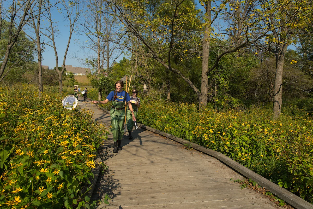
Field study and exploration are at the core of geography, giving students a direct way to observe and understand the world we study. Many of our regular courses include field components, and students can also take dedicated field courses during the summer. We actively support individualized research that incorporates fieldwork, creating opportunities for students to explore interesting questions, experience the unexpected, and encounter serendipitous moments of discovery.
Living Classrooms Outdoors
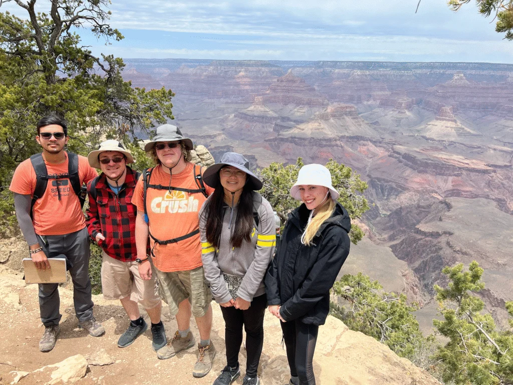
Peaks and Pueblos: Past field courses have visited the Sonoran Desert in southern Arizona (including Saguaro and Chiricahua National Monuments), the Grand Canyon (and other national park sites in Arizona, including Canyon de Chelly and Petrified Forest), the major American Indian mound sites of the South (including Cahokia, Russel Cave National Monument, and Etowah), and the volcanoes and lava flows of the Big Island of Hawaii. More distant courses have toured the glacier of Alaska and the eastern half of the historic Oregon Trail, following its course into Wyoming, and visiting Yellowstone National Park and Devils Tower National Monument before returning east via the Black Hills and Badlands of South Dakota.
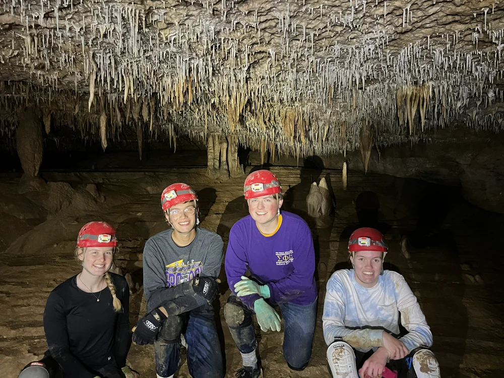
Several regular semester courses involve short overnight field experiences, including a visit to Mammoth Cave National Park and Red River Gorge National Geological Area (GEO304). Urban geography and urban planning encompass day trips to Chicago, and courses in geomorphology, hydrology, and soils incorporate Saturday field excursions to regional locations including Indiana Dunes, the Kankakee River, and other wetlands, waterways, and ecological areas.
Students are encouraged to develop and participate in small group research projects in coordination with an advising professor. These projects are in addition to their normal coursework and provide excellent opportunities for students to learn additional, specialized field and laboratory procedures. Students have done work on local soils and waterways, former wetlands drained in the region, and elsewhere. Students have presented their work both at local and national conferences.

Meteorology
Pathways to Scientific Discovery
Valparaiso University’s location offers a wide variety of interesting and challenging weather, from lake-effect snowfall to severe convective storms. Students have access to scientific instrumentation, expert instruction, as well as a rich network of practitioners and mentors.
Weather in Action
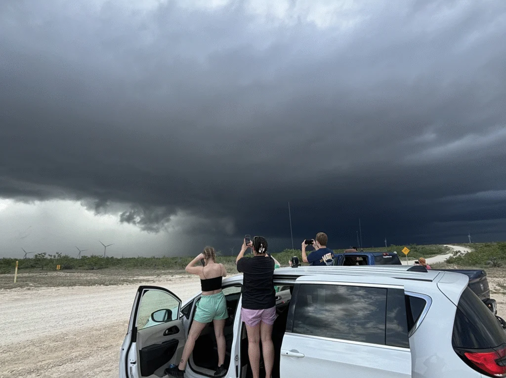
Students have the opportunity to practice their forecasting skills on an 11-day convective field study to the Great Plains that takes place each year at the end of May. This trip provides students with field experience in severe convective environments, linking classroom preparation with its real-time application to the analysis, forecasting, and tracking of storms. On the trip, students:
- Give daily weather briefings
- Launch weather balloons
- Observe and document how convective morphology and evolution is influenced by a variety of dynamic and thermodynamic variables, as well as regional topography
- Evaluate how their forecasts match observations
- Build teamwork and leadership skills
During the 2025 trip, students spotted two tornadoes and met with professional meteorologists during a visit to the National Weather Center and Storm Prediction Center in Oklahoma.
Valpo meteorology students provide an invaluable service to residents of the region by staffing the Valparaiso University Weather Center, where they apply the theory they have learned. Students gain expertise in skills like reading Doppler radar and interpreting data provided by weather balloons they launch from campus.
The department maintains a fruitful relationship with the National Weather Service. Many students participate in the NWS’s Skywarn program, and NWS offices and regional bureaus around the nation have hosted Valpo students as interns. Private-sector forecasting firms are also eager to offer internships to Valpo students, and television stations around the country have given Valpo students a first-hand look at the reality of broadcast meteorology.
Skill Building
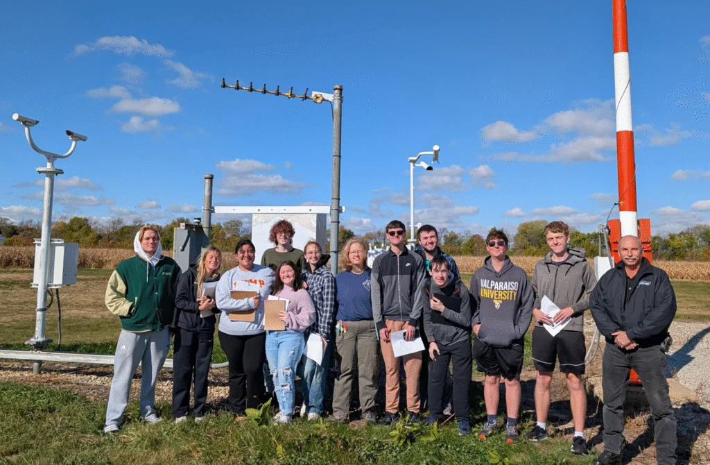
We are keenly aware that students need solid foundations, but also need to be skilled in ever-evolving tools and techniques. That is why we build practical training into the curriculum, from software and instrumentation to data analysis and field methods, preparing students to adapt and excel in a changing world.
Geographic research involves the systematic observation and collection of data and the analysis of data to address a specific question, problem, or hypothesis.
Among the techniques and skills Valpo students master:
- Use of remote sensing technology to extract information from airborne and satellite imagery
- Soils surveying and analysis
- Stream discharge measurement and analysis
- Spatial sampling and measurement techniques
- Responsible methods of interviewing and surveying human subjects
- Acquisition of position data using GPS
- Digital cartography and visualization
- Mapping, modeling and analysis using Geographic Information Systems
Technical Skills
Meteorology calls for more than a theoretical understanding of the science behind weather. It also involves learning the tools, techniques, and technology that make forecasting and research possible.
Valpo meteorology students have multiple opportunities to work with state-of-the-art equipment in both coursework and extracurricular activities, and the program is proud of its record of training graduates who are ready to work in the field immediately upon graduation.
- Surface and upper air observation of temperature, humidity, wind speed and direction, and atmospheric pressure
- Use of meteorological instruments, including temperature sensors, barometers, and radiosonde packages that accompany weather balloons, with an understanding of the limits of each instrument, data quality, and potential sources of error
- Analysis and understanding of atmospheric observing systems such as Doppler radar, wind profilers, and satellites
- Modeling techniques and software
- Use of computer programming to analyze meteorological processes such as convection, advection, phase changes, etc.
- Visualization of data
- Temporal and spatial statistical analysis of atmospheric and geographic data sets
- Presentation and communication of atmospheric phenomena and processes
Shining Brightly, Together
Voices of Valpo
Meteorology Experiential Learning
Turning Weather Into Experience
At Valpo, the atmosphere is more than a subject of study—it’s a dynamic classroom.
Contact Us
We welcome inquiries from prospective students, fellow researchers, and community members.
Contact the Department Chair: Bharath Ganesh Babu
Administrative Assistant: Zoe Vander Vinne
Staff Meteorologist: Leanne Blind-Doskocil