


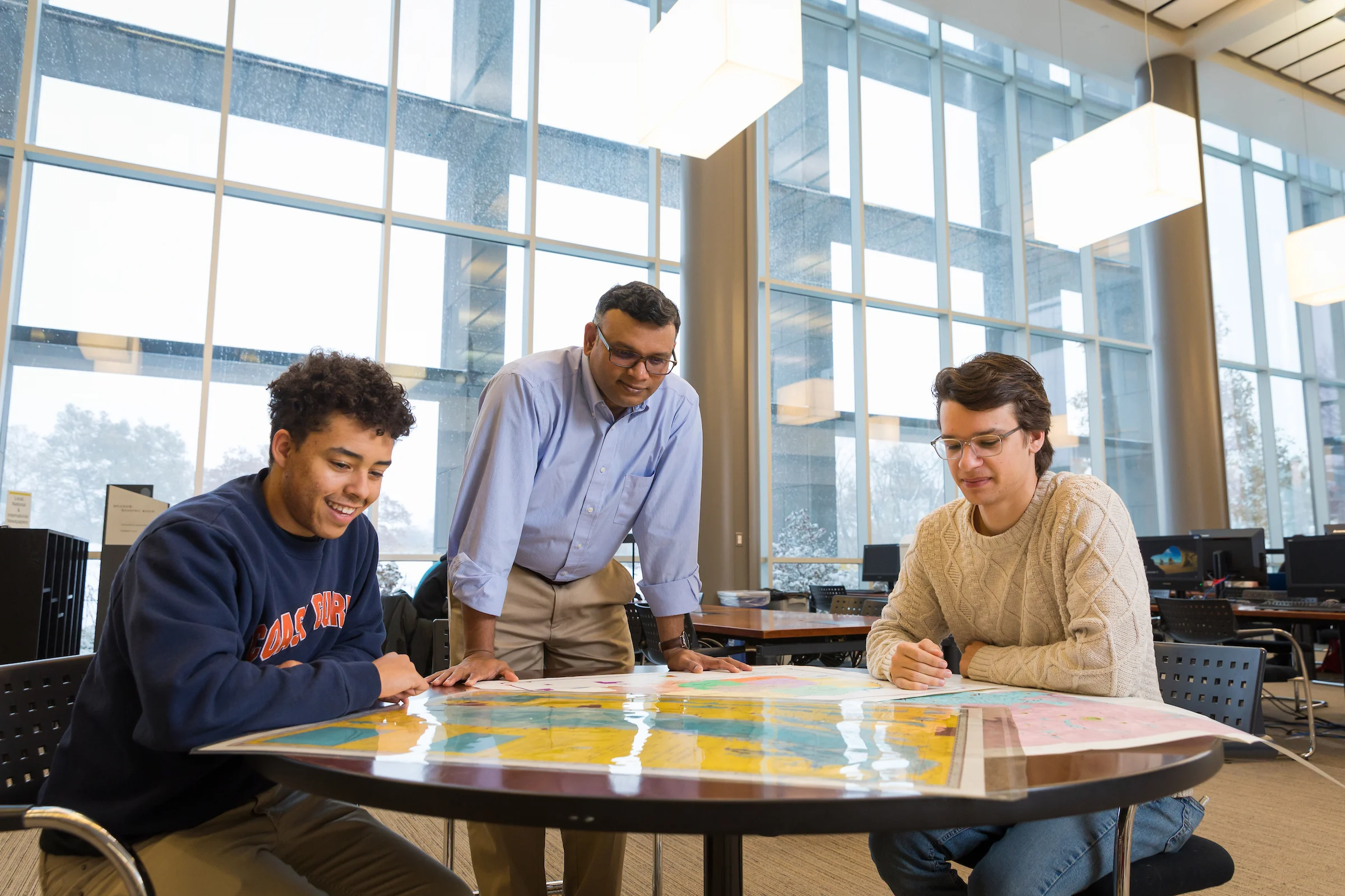
Beginning in fall 2027, the Department of Geography, Meteorology, and Environmental Science will offer a new undergraduate degree in geospatial science. Proficiency with geographic information systems (GIS) is opening promising career opportunities for new graduates, as the geospatial analytics market is projected to grow 13.6% annually through 2034. Valparaiso University will be the only institution in Indiana to offer this bachelor of science degree.
Geospatial science experts read patterns in location-based data from satellites, drones, and ground surveys, then translate them into a wide range of usable insights. This information then informs efforts like hazard mapping, land-use zoning, urban planning, natural resource protection, emergency management, social improvement, and public health.
“For instance, they can layer rainfall data over elevation and drainage maps and reveal which neighborhoods are at risk of flooding first,” said Bharath Ganesh Babu, Ph.D., professor of geography. “They can also plot reported illnesses against water sources and can pinpoint the origin of an outbreak.”
According to the Geospatial Professional Network, GIS professionals earn a median annual wage of $87,000 across careers in cartography, environmental analysis, and surveying and mapping. Valpo’s program lets students broaden their career options further by pairing geospatial sciences with a second major in environmental science, meteorology, or geography.
Students spend their first year building a foundation in the core components of geospatial science: geography, environmental analysis, statistics and data analysis, computer programming, and introductory GIS. From there, they develop skills in human and environmental applications, satellite data interpretation, database management, and machine learning. The program culminates in a required senior capstone experience that includes an advanced seminar, field study, or internship, where students lead a project from question to finished analysis. Valpo graduates leave with technical expertise, and a deep sense of responsibility to the communities their work affects.
Valparaiso University also offers a minor in GIS for any student interested in developing skills working with the technology. GIS has applications across a wide range of disciplines, such as biology, political science, business intelligence, economics, and public health.
“Our students learn to do the work responsibly and to remember who it’s for,” said Bharath Ganesh Babu, Ph.D., professor of geography. “It’s the community that gets warned in time, the watershed that stays protected, the neighborhood that finally shows up on the map. We want them to graduate as professionals and as leaders.”